 Dr Colin Hutchins is an environmental scientist turned science communicator. He has more than 15 years’ multi-disciplinary research experience in a broad range of environmental sciences, from ecotoxicology to biogeochemistry and genomics, with a focus on the chemistry of contaminants and their consequences. Dismayed at the expanding gap between the academic and public/government/industry understanding of research, he transitioned into science communications. With a Masters degree in Science Communications (University of Queensland), he has worked for Griffith University, Australian Rivers Institute, the Making Good Alliance, the Ningaloo Turtle Program and others developing communication strategies and content.
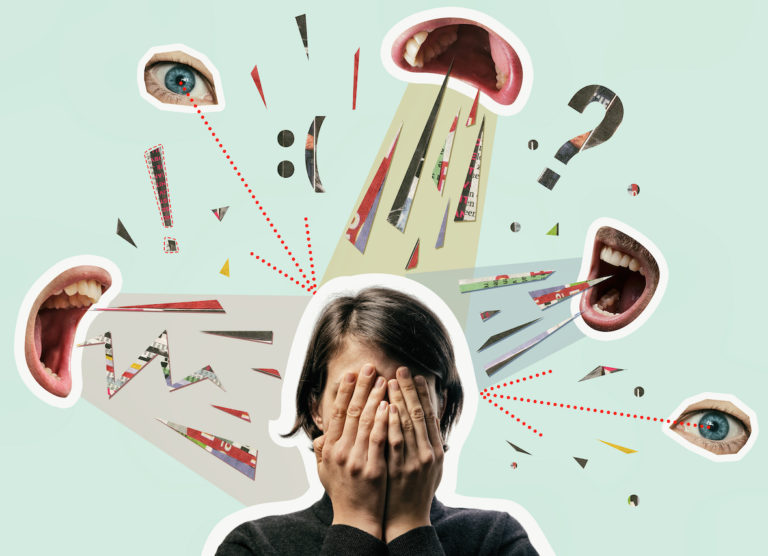
Cyberbullying: How can parents identify and intervene?
Cyberbullying can be confusing and distressing for young people, but it is not often the case that youth actively hide bullying from those who care about them. Dr Jaimee Stewart identifies how parents can identify and intervene in cyberbullying.